Walk at your own pace with our free maps
You can download maps and route guides for walks from many of our hostels — picking your difficulty level from easy to more challenging. All our self-guided walks start and end at a YHA hostel. What could be more convenient! To navigate these routes on your phone, you can download the OS Maps app and access a digital version.
Walk difficulty level
Easy (0 to 20): Straightforward for most, taking about an hour or two. If there’s some ascent, the distance will be short. If it’s flat, the route will be longer.
Moderate (20 to 50): Longer than easier walks, requiring a morning or afternoon. More ascent, more uneven terrain and may require more navigation skills.
Challenging (50 to 70): For walkers with more experience and higher levels of fitness, these routes are either long, challenging to walk or involve an ascent.
Severe (70+): The hardest of all and best suited to experienced walkers. They are long or high, but probably both. Likely to be in remote mountainous areas.
Walking routes in the East Midlands
East Midlands

YHA Castleton Losehill Hall
Hope Valley, Derbyshire
Easy route
4.4 miles, takes 1h 45m - 3h 15m
Moderate route
6.6 miles, takes 3h 45m - 5h 45m
Challenging route
13.6 miles, takes 7h 15m to 11h 30m

YHA Edale Activity Centre
Edale, Derbyshire
Moderate route (PDF, 1MB)
5.7 miles, takes 2h 45m - 4h 15m
Challenging route (PDF, 0.8MB)
6.3 miles, takes 3h 30m - 5h 30m
Severe route (PDF, 1MB)
16.9 miles, takes 8h 45m - 9h 45m
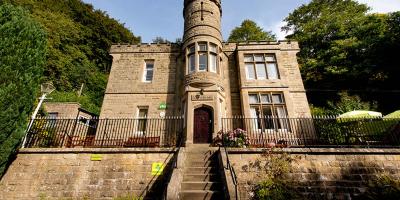
YHA Eyam
Eyam, Derbyshire
Easy route (PDF, 0.9MB)
1.3 miles, takes 45m to 1h
Moderate route (PDF, 1.1MB)
5.2 miles, takes 2h 45m - 4h
Challenging route (PDF, 1.5MB)
10.5 miles, takes 5h - 8h 15m
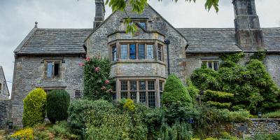
YHA Hartington Hall
Hartington, Derbyshire
Easy route
1.2 miles, takes 30m - 1h
Moderate route
6 miles, takes 2h 45m - 4h 30m
Challenging route
10.4 miles, takes 4h 45m - 7h 45m
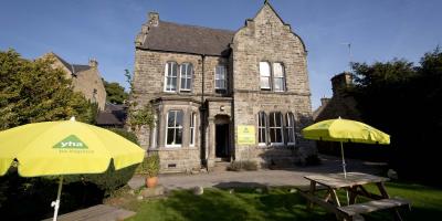
YHA Hathersage
Hathersage, Derbyshire
Moderate route (PDF, 1MB)
2.9 miles, takes 1h 15m - 2h
Challenging route (PDF, 1.1MB)
7 miles, takes 3h 15m - 5h 30m
Challenging route (PDF, 1.3MB)
13.5 miles, takes 6h 15m - 7h 15m

YHA Ilam Hall
Ashbourne, Derbyshire
Easy route (PDF, 0.8MB)
2.9 miles, takes 1h 15m - 2h
Moderate route (PDF, 0.9MB)
6.3 miles, takes 3h - 4h 45m
Challenging route (PDF, 1.1MB)
14.3 miles, takes 6h 45m - 10h 45m
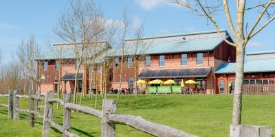
YHA National Forest
Swadlincote, Derbyshire
Easy route (PDF, 1.0MB)
3.2 miles, takes 1h 50m to 2h 15m
Moderate route (PDF, 1.1MB)
6.5 miles, takes 2h 45m - 4h 45m
Moderate route (PDF, 1.2MB)
9 miles, takes 3h 45m - 6h 30m

YHA Ravenstor
Buxton, Derbyshire
Moderate route
3.8 miles, takes 2h - 3h 30m
Moderate route
4.9 miles, takes 2h 30m - 4h
Moderate route
8.4 miles, takes 4h - 6h 30m
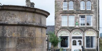
YHA Youlgreave
near Bakewell, Derbyshire
Easy route (PDF, 0.8MB)
1.1 miles, takes 30m - 45m
Moderate route (PDF, 1.2MB)
7.4 miles, takes 3h 30m - 5h 30m
Challenging route (PDF, 1.2MB)
12 miles, takes 5h 45m - 9h 30m
Walking routes in the East of England
East of England

YHA Cambridge
Cambridge, Cambridgeshire
Easy route (PDF, 1.3MB)
3.1 miles, takes 1h - 1h 45m
Easy route (PDF, 1.5MB)
4.2 miles, takes 1h 30m - 2h 30m
Moderate route (PDF, 1.1MB)
6.7 miles, takes 2h 30m - 4h 15m

YHA Sheringham
Sheringham, Norfolk
Easy route (PDF, 0.6MB)
2.9 miles, takes 1h 15m - 2h
Moderate route (PDF, 0.6MB)
5.9 miles, takes 2h 45m to 4h 15m
Challenging route (PDF, 0.8MB)
11.7 miles, takes 5h 15m - 8h 30m
Walking routes in London
London

YHA London Central
London, W1W
Easy route (PDF, 1.5MB)
7 miles, takes 2h 30m - 4h 15m
Moderate route (PDF, 3.1MB)
13.5 miles, takes 4h 45m - 8h 15m
Moderate route (PDF, 3.9MB)
12.6 miles, takes 4h 30m - 7h 30m
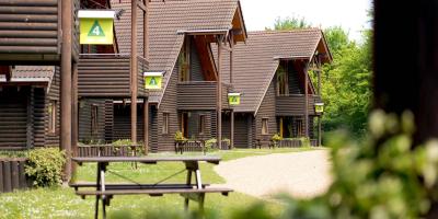
YHA London Lee Valley
Cheshunt, Hertfordshire
Easy route
2.5 miles, takes 1h - 1h 30m
Moderate route
5.9 miles, takes 2h - 3h 45m
Challenging route
14.9 miles, takes 6h - 10h 15m
Walking routes in the North East of England
North East of England

YHA Berwick
Berwick-upon-Tweed, Northumberland
Easy route (PDF, 0.9MB)
3.3 miles, takes 1h 30m - 2h 15m
Moderate route (PDF, 0.9MB)
6.8 miles, takes 2h 45m - 4h 30m
Challenging route (PDF, 0.8MB)
15.6 miles, takes 7h - 8h
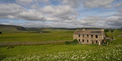
YHA Langdon Beck
Barnard Castle, Durham
Moderate route (PDF, 0.8MB)
2.6 miles, takes 1h - 1h 45m
Moderate route (PDF, 1.1MB)
8.4 miles, takes 3h 45m - 6h 15m
Challenging route (PDF, 1.1MB)
14.3 miles, takes 6h 30m - 10h 45m
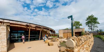
YHA The Sill at Hadrian's Wall
Bardon Mill, Northumberland
Moderate route (PDF, 0.7MB)
2.3 miles, takes 1h - 1h 45m
Moderate route (PDF, 1MB)
7.9 miles, takes 3h 45m - 6h
Challenging route (PDF, 1.2MB)
13.8 miles, takes 6h 15m - 7h 15m
Walking routes in the North West of England
North West of England

YHA Ambleside
Ambleside, Cumbria
Easy route (PDF, 0.8MB)
2.7 miles, takes 1h - 1h 45m
Moderate route (PDF, 0.9MB)
8.5 miles, takes 4h 30m - 7h
Severe route (PDF, 1.6MB)
13.5 miles, takes 7h 45m - 12h

YHA Borrowdale
Keswick, Cumbria
Easy route
2.2 miles, takes 1h - 1h 30m
Moderate route
5.5 miles, takes 3h 15m - 5h
Severe route
12.9 miles, takes 8h 15m - 12h 45m

YHA Chester Trafford Hall
Chester, Cheshire
Easy route (PDF, 0.6MB)
4.4 miles, takes 1h 45m - 2h 45m
Moderate route (PDF, 1MB)
6.9 miles, takes 2h 45m - 4h 45m
Challenging route (PDF, 1.6MB)
17 miles, takes 6h 30m - 7h 30m
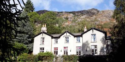
YHA Coniston Holly How
Coniston, Cumbria
Easy route
2.3 miles, takes 1h - 1h 45m
Moderate route
7.6 miles, takes 3h 45m - 6h 15m
Severe route
8.5 miles, takes 6h - 9h

YHA Ennerdale
Cleator, Cumbria
Moderate route (PDF, 1.1MB)
8.1 miles, takes 3h 30m to 5h 45m
Challenging route (PDF, 1.2MB)
7.6 miles, takes 5h - 7h 30m
Severe route (PDF, 1.2MB)
10.6 miles, takes 7h 15m - 10h 45m

YHA Hawkshead
Ambleside, Cumbria
Easy route (PDF,1MB)
3.2 miles, takes 1h 15m - 2h 15m
Moderate route (PDF, 1.3MB)
7.2 miles, takes 3h 30m - 5h 30m
Challenging route (PDF, 1.5MB)
12.8 miles, takes 6h 15m - 10h
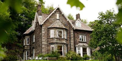
YHA Grasmere Butharlyp Howe
Grasmere, Cumbria
Easy route
1.5 miles, takes 45m - 1h 15m
Moderate route
6.9 miles, takes 3h 30m - 5h 45m
Severe route
10 miles, takes 6h 30m - 10h 15m
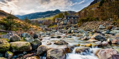
YHA Helvellyn
Penrith, Cumbria
Moderate route (PDF, 1MB)
3.4 miles, takes 1h 45m - 2h 45m
Moderate route (PDF, 1.4MB)
8.3 miles, takes 4h 15m - 6h 30m
Challenging route (PDF, 1.5MB)
11 miles, takes 6h 30m - 10h
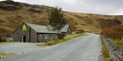
YHA Honister Hause
Keswick, Cumbria
Moderate route (PDF, 0.9MB)
3.2 miles, takes 2h - 3h
Challenging route (PDF, 1.1MB)
4.9 miles, takes 3h 15m - 5h
Challenging route (PDF, 1.1MB)
5.7 miles, takes 4h - 6h

YHA Keswick
Keswick, Cumbria
Easy route (PDF, 0.9MB)
2.8 miles, takes 1h 15m - 1h 45m
Moderate route (PDF, 1.1MB)
6 miles, takes 3h 15m - 5h
Challenging route (PDF, 1.1MB)
12 miles, takes 6h 45m - 10h 15m
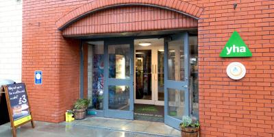
YHA Liverpool Albert Dock
Liverpool, L1
Easy route (PDF, 1.3MB)
3.4 miles, takes 1h 15m - 2h
Easy route (PDF, 1.3MB)
3.6 miles, takes 1h 15m - 2h 15m
Moderate route (PDF, 1.4MB)
9.7 miles, takes 3h 30m - 5h 45m

YHA Manchester
Manchester, M3
Easy route (PDF, 1.1MB)
1.5 miles, takes 30m - 1h
Easy route (PDF, 1.5MB)
3.4 miles, takes 1h 15m - 2h

YHA Wasdale Hall
Seascale, Cumbria
Moderate route (PDF, 0.9MB)
3.6 miles, takes 1h 30m - 2h 30m
Challenging route (PDF, 1MB)
8.3 miles, takes 5h - 7h 45m
Challenging route (PDF, 1.2MB)
12 miles, takes 6h 45m - 10h 30m
Walking routes in the South East of England
South East of England

YHA Canterbury
Canterbury, Kent
Easy route
3.6 miles, takes 1h 15m - 2h 30m
Moderate route
10.7 miles, takes 4h 30m - 7h 30m
Challenging route
15.8 miles, takes 6h 15m - 10h 30m
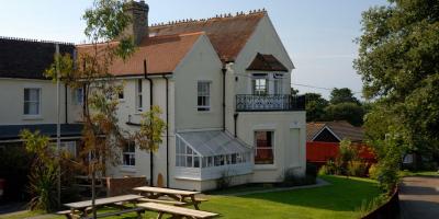
YHA Isle of Wight Totland
Totland Bay, Isle of Wight
Easy route (PDF, 0.8MB)
2.6 miles, takes 1h - 1h 45m
Moderate route (PDF, 0.6MB)
5.4 miles, takes 2h 30m - 4h 15m
Moderate route (PDF, 1MB)
11.3 miles, takes 5h - 8h 15m
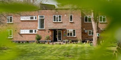
YHA Holmbury St Mary Surrey Hills
Dorking, Surrey
Moderate route (PDF, 1.2MB)
7.9 miles, takes 3h 45m - 6h

YHA Jordans
Beaconsfield, Buckinghamshire
Easy route (PDF, 0.8MB)
3.7 miles, takes 1h 30m - 2h 30m
Moderate route (PDF, 1.1MB)
8 miles, takes 3h 15m - 5h 15m

YHA New Forest
Burley Ringwood, Hampshire
Easy route (PDF, 0.8MB)
2.4 miles, takes 1h - 1h 30m
Moderate route (PDF, 1MB)
4.9 miles, takes 2h - 3h 15m
Challenging route (PDF, 1.2MB)
14.8 miles, takes 6h 15m - 10h 30m

YHA South Downs
Lewes, East Sussex
Easy route with access guidance (PDF, 2MB)
3.9 miles, takes 1h 30m - 2h 30m
Moderate route (PDF, 1.3MB)
12.6 miles, takes 5h 30m - 9h 15m
Severe route (PDF, 1.2MB)
20.3 miles, takes 8h 45m - 10h

YHA Truleigh Hill
Shoreham-by-Sea, West Sussex
Easy route (PDF, 0.8MB)
1.7 miles, takes 45m - 1h 15m
Moderate route (PDF, 1MB)
7.4 miles, takes 3h 45m - 5h 45m
Challenging route (PDF, 1.3MB)
13.1 miles, takes 5h 45m - 9h 30m
Walking routes in the South West of England
South West of England

YHA Beer
Beer, Devon
Easy route (PDF, 0.9MB)
2.3 miles, takes 1h - 1h 45m
Moderate route (PDF, 1MB)
5.8 miles, takes 2h 45m - 4h 30m
Challenging route (PDF, 1.1MB)
12.1 miles, takes 6h 15m - 9h 45m

YHA Bristol
Bristol
Easy route (PDF, 1MB)
1.4 miles, takes 30m - 1h
Easy route (PDF, 1.4MB)
3.3 miles, takes 1h 15m - 2h
Moderate route (PDF, 1.2MB)
8.4 miles, takes 3h 30m - 5h 45m

YHA Cheddar
Cheddar, Somerset
Easy route (PDF, 0.9MB)
4.6 miles, takes 1h 45m - 3h
Moderate route (PDF, 1.2MB)
4.7 miles, takes 2h 30m - 4h
Challenging route (PDF, 0.8MB)
12.8 miles, takes 6h 15m to 10h
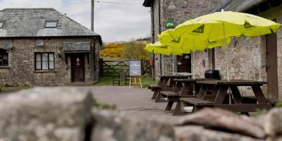
YHA Dartmoor
Postbridge, Devon
Moderate route (PDF, 0.8MB)
2.7 miles, takes 1h 15m - 2h
Moderate route (PDF, 0.9MB)
3.7 miles, takes 1h 45m - 2h 45m
Challenging route (PDF, 0.9MB)
14.2 miles, takes 7h - 11h 30m

YHA Okehampton
Okehampton, Devon
Easy route (PDF, 1MB)
2.3 miles, takes 1h - 1h 45m
Moderate route (PDF, 1MB)
3.6 miles, takes 1h 45m - 2h 45m
Challenging route (PDF, 1.2MB)
7.7 miles, takes 3h 45m - 6h
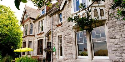
YHA Swanage
Okehampton, Devon
Easy route
1.7 miles, takes 45m - 1h 15m
Moderate route
7 miles, takes 3h 15m - 5h 15m
Challenging route
14.3 miles, takes 6h 30m - 11h
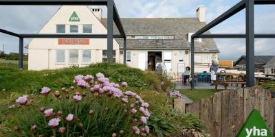
YHA Treyarnon Bay
Padstow, Cornwall
Moderate route (PDF, 0.7MB)
5 miles, takes 2h 15m - 3h 30m
Challenging route (PDF, 0.8MB)
13.7 miles, takes 6h 30m - 7h 30m
Challenging route (PDF, 0.9MB)
18.1 miles, takes 8h 15m - 9h 30m
Walking routes in Wales
Wales

YHA Brecon Beacons
Brecon, Powys
Moderate route
8.4 miles, takes 4h - 6h 30m
Moderate route
3.2 miles, takes 2h - 3h
Challenging route
8.2 miles, takes 4h 30m - 7h
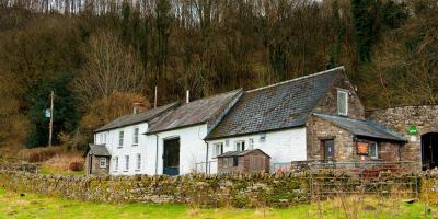
YHA Brecon Beacons Danywenallt
Brecon, Powys
Moderate route (PDF, 0.7MB)
3.9 miles, takes 1h 45m - 3h
Challenging route (PDF, 1.1MB)
6.3 miles, takes 3h 30m - 5h 30m
Challenging route (PDF, 1.3MB)
13.3 miles, takes 7h 15m - 11h 30m

YHA Broad Haven
Haverfordwest, Pembrokeshire
Easy route (PDF, 0.7MB)
1.8 mile, takes 45m - 1h 15m
Moderate route (PDF, 0.7MB)
4.7 miles, takes 2h 15m - 3h 30m
Challenging route (PDF, 0.8MB)
12.6 miles, takes 6h 30m - 10h 15m
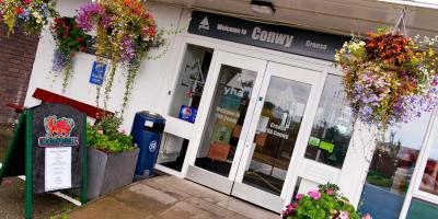
YHA Conwy
Conwy
Easy route
3.7 mile, takes 1h 30m - 2h 30m
Moderate route
6.3 miles, takes 3h 15m - 5h
Severe route
12.6 miles, takes 7h 15m - 11h 30m
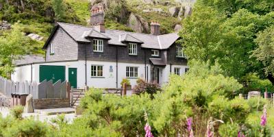
YHA Idwal Cottage
Bangor, Gwynedd
Moderate route
2.4 mile, takes 1h 15m - 2h
Challenging route
4.7 miles, takes 3h 15m - 4h 45m
Severe route
11.6 miles, takes 7h 30m - 11h 45m
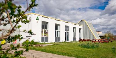
YHA Manorbier
near Tenby, Pembrokeshire
Easy route (PDF, 0.6MB)
2.1 miles, takes 1h - 1h 30m
Moderate route (PDF, 0.5MB)
6.1 miles, takes 3h - 4h 45m
Challenging route (PDF, 1MB)
12.6 miles, takes 5h 45m - 9h 30m

YHA Snowdon Llanberis
Caernarfon, Gwynedd
Moderate route
2.6 miles, takes 1h 15m - 2h
Challenging route
7.1 miles, takes 4h 15m - 6h 30m
Severe route
11 miles, takes 7h - 10h 30m

YHA Snowdon Pen-y-Pass
Caernarfon, Gwynedd
Moderate route (PDF, 0.8MB)
2.3 miles, takes 1h 30m - 2h 15m
Challenging route (PDF, 1.2MB)
7.5 miles, takes 5h - 7h 30m
Severe route (PDF, 1,2MB)
6.5 miles, takes 4h 45m - 7h

YHA Snowdon Ranger
Caernarfon, Gwynedd
Easy route (PDF, 0.3MB)
0.4 miles, takes 15m - 30m
Challenging route (PDF, 1.2MB)
9.3 miles, takes 5h 45m - 8h 30m
Severe route (PDF, 0.9MB)
11.4 miles, 7h 45m - 11h 45m
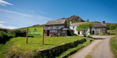
YHA St Davids
St David's, Pembrokeshire
Easy route (PDF, 0.8MB)
2.2 miles, takes 1h - 1h 45m
Moderate route (PDF, 0.7MB)
3.6 miles, takes 2h - 3h
Challenging route (PDF, 0.9MB)
11.2 miles, takes 5h 45m - 9h 15m
Walking routes in the West Midlands
West Midlands


YHA Ironbridge Coalport
Coalport, Shropshire
Easy route (PDF, 1.2MB)
4.4 miles, takes 1h 45m - 3h
Moderate route (PDF, 1.2MB)
5.9 miles, takes 2h 45m - 4h 30m
Challenging route (PDF, 1.1MB)
16 miles, takes 7h 15m - 8h 15m

YHA Stratford-upon-Avon
Stratford-upon-Avon, Warwickshire
Easy route (PDF, 0.7MB)
2.1 miles, takes 45m - 1h 30m
Moderate route (PDF 1.1MB)
8.3 miles, takes 3h 30m - 5h 45m
Moderate route (PDF, 1MB)
9.5 miles, takes 3h 45m - 6h 30m
Walking routes in the Yorkshire and the Humber
Yorkshire and the Humber

YHA Boggle Hole
Whitby, North Yorkshire
Easy route
1.3 miles, takes 30m - 1h
Moderate route
7.9 miles, takes 3h 45m - 6h
Challenging route
15.8 miles, takes 7h 15m - 11h 45m
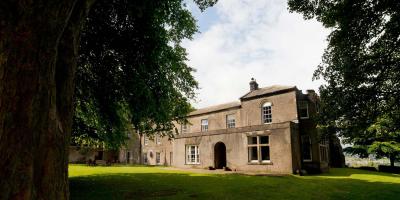
YHA Grinton Lodge
Richmond, North Yorkshire
Moderate route (PDF, 0.7MB)
1.7 miles, takes 1h - 1h 30m
Moderate route (PDF, 1MB)
7.9 miles, takes 4h - 6h 30m
Challenging route (PDF, 1.2MB)
10 miles, takes 5h - 8h 15mView this hostel

YHA Helmsley
Helmsley North Yorkshire
Easy route (PDF, 0.7MB)
1.5 miles, takes 30m - 1h
Moderate route (PDF, 0.8MB)
8.4 miles, takes 3h 30m - 5h 45m
Challenging route (PDF, 0.8MB)
14 miles, takes 6h 15m to 10h

YHA Malham
Skipton, North Yorkshire
Moderate route with access guidance (PDF, 2.5MB)
4.5 miles, takes 2h - 3h 15m
Moderate route (PDF, 1MB)
7.6 miles, takes 4h - 6h 30m
Challenging (PDF, 1.2MB)
13.2 miles, takes 6h 45m - 10h 45m

YHA Whitby
Whitby, North Yorkshire
Easy route (PDF, 0.4MB)
1.4 miles, takes 30m - 1h
Moderate route (PDF, 0.7MB)
5.3 miles, takes 2h 15m - 3h 45m
Challenging route (PDF, 0.8MB)
14.1 miles, takes 6h 30m - 10h 30m

YHA York
York, North Yorkshire
Easy route (PDF, 1MB)
2.9 miles, takes 1h - 1h 45m
Easy route (PDF, 1.5MB)
5.1 miles, takes 2h - 3h 30m
Moderate route (PDF, 1.8MB)
13.8 miles, takes 5h 30m - 9h 30m
Accessible routes
Accessible means different things to different people. Working with Access the Dales, we have identified a wider range of accessible routes that are close to YHA hostels.

Ambleside
Cumbria, North West of England
White Moss Common to Steps End route
2 miles
Provided by: Miles Without Stiles, Lake District National Park
Nearest hostel: YHA Ambleside
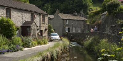
Castleton
Derbyshire, East Midlands
Mam Tor Landslip route
0.4 miles
Provided by: Miles Without Stiles, Peak District National Park
Nearest hostel: YHA Castleton Losehill Hall
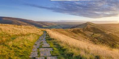
Dovedale
Derbyshire, East Midlands
Dovedale route
0.4 miles
Provided by: Miles Without Stiles, Peak District National Park
Nearest hostel: YHA Ilam Hall

Ennerdale
Cumbria, North West of England
Ennerdale Views route
1.3 miles
Provided by: Miles Without Stiles, Lake District National Park
Nearest hostel: YHA Ennerdale
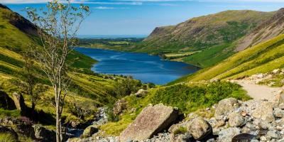
Hawkshead
Cumbria, North West of England
Hawkshead to Loanthwaite Lane route
1.3 miles
Provided by: Miles Without Stiles, Lake District National Park
Nearest hostel: YHA Hawkshead

Keswick
Cumbria, North West of England
Friar's Crag route
0.8 miles
Provided by: Miles Without Stiles, Lake District National Park
Nearest hostel: YHA Keswick
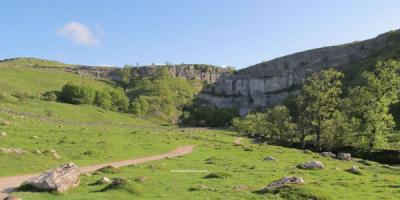
Malham
North Yorkshire, Yorkshire and the Humber
Malham Cove route (PDF, 0.3MB)
0.4 miles
Provided by: Yorkshire Dales National Park
Nearest hostel: YHA Malham
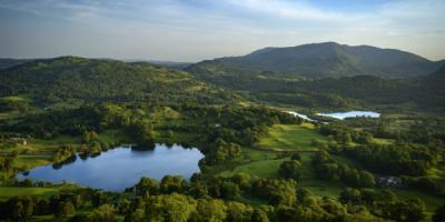
Okehampton
Devon, South West of England
The Granite Way route
11 miles
Provided by: Explore Devon
Nearest hostel: YHA Okehampton
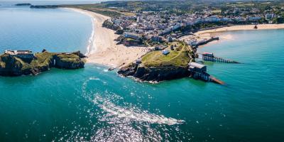
Pembrokeshire
Pembrokeshire, Wales
Pembrokeshire routes
1 - 4.4 miles
Provided by: Pembrokeshire Coast National Park
Nearest hostel: Hostels in Pembrokeshire
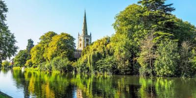
Stratford-upon-Avon
Warwickshire, West Midlands
Stratford-upon-Avon town centre routes (PDF, 1.5MB)
Various
Provided by: Accessible Stratford-upon-Avon
Nearest hostel: YHA Stratford-Upon-Avon
OS maps

OS maps
Your adventure your way
Explore the world around you with OS Maps. Routes, mapping and navigation across the UK whenever and wherever you need it. YHA members get 30% annual subscriptions to OS Maps Premium.
Take part in the festival
Festival of Walking
YHA and walking just go together - discover our walking festival
Participating hostels
Many of our hostels are hosting walking activities for the festival
Social walks
The festival’s guided social walks offer a safe and supportive space to get involved with walking and meet other walkers
Walking skills
From picking the right route to packing the perfect kit, here’s how to prepare for your next walk