If you're planning on staying at YHA The Sill at Hadrian's Wall, why not download a free map and get out exploring?
All our self-guided walks start and end at a YHA hostel and are graded so that you can explore the area at your own pace.
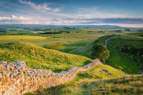
Winshield Crags
A short walk to the highest point of Hadrian’s Wall providing fantastic views across Northumberland
Moderate route (PDF, 0.7MB)
2.3 miles, takes 1h - 1h 45m
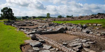
Hadrian’s Wall, Housesteads Crags and Vercovicivm Fort
A walk along the ruins of Hadrian’s Wall. Follow left around the hostel to the main road
Moderate route (PDF, 1MB)
7.9 miles, takes 3h 45m - 6h
Vindolanda, Bardon Mill and Haltwhistle
A walk through historic countryside passing the Vindolanda Roman Fort and visiting Bardon Mill and Haltwhistle
Challenging route (PDF, 1.2MB)
13.8 miles, takes 6h 15m - 7h 15m
All our walking routes are tried and tested to help you explore this beautiful part of England. To assist with route selection and planning, you’ll also find a description of the hazards and facilities, accessibility information and points of interest on the maps

