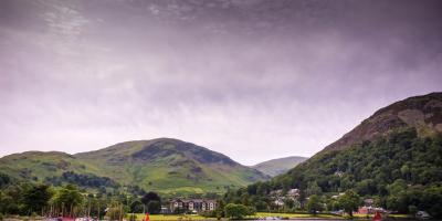
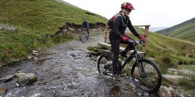
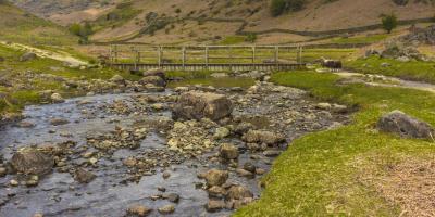
If you're planning on staying at YHA Helvellyn, why not download a free map and get out exploring?
All our self-guided walks start and end at a YHA hostel and are graded so that you can explore the area at your own pace.
Lanty’s Tarn
Mountain valley and riverside walk
Moderate route (PDF, 1MB)
3.4 miles, takes 1h 45m - 2h 45m
Glenridding and Grisedale
A low level walk taking in the beautiful valleys of Glenridding and Grisedale
Moderate route (PDF, 1.4MB)
8.3 miles, takes 4h 15m - 6h 30m
Glenridding, Helvellyn and Grisedale
A high level walk through Glenridding up to Whiteside and Lower Man to Helvellyn, then down via Nethermost Pike, Dollywaggon Pike and through Grisedale
Challenging route (PDF, 1.5MB)
11 miles, takes 6h 30m - 10h
All our walking routes are tried and tested to help you explore this beautiful part of England. To assist with route selection and planning, you’ll also find a description of the hazards and facilities, accessibility information and points of interest on the maps
