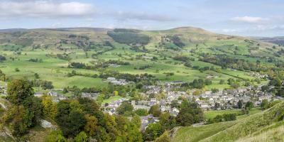
Castleton lies on the boundary between the Dark Peak and the White Peak and has to top the podium for runner-friendly properties. Whatever your age, ability or level of enthusiasm you can find a rewarding route to suit. The wilder Dark Peak, with its open fells and gritstone edges, is suited to those seeking adrenaline-fuelled adventure, whilst the White Peak is home to gentler trails through flower-filled limestone valleys. And if neither appeals, keep things low level with a gentle jog around the woods and streams of the hostel grounds.
Run YHA Castleton Distance: 12 miles/19km
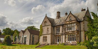
Start/finish: Losehill Hall, Castleton S33 8WB
Terrain: Trail, moorland, path, boggy sections
Toughness: Challenging
Ascent: 640 metres
Navigation: Moderate (if visibility good)
Good for: Ascents, views
Route info: wildrunning.net/152
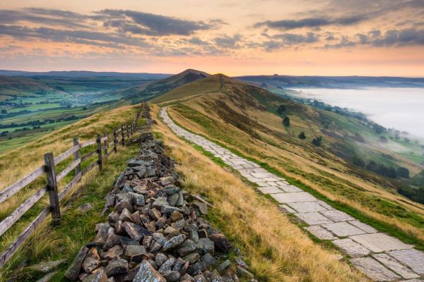
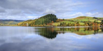
A fantastic run around the beautiful Hope Valley from Castleton, taking in some of the most dramatic Dark Peak landscapes. Several tough yet enjoyable climbs are rewarded with breathtaking vistas, particularly from the viewpoints at Hollins Cross and Lose Hill. There is an optional ascent of Mam Tor reached by continuing along the road instead of left turn at 8.1 miles (13.1km) and taking the next left, climbing to the trig point at the tor’s summit before continuing north east along the ridge to rejoin the original route. The run also passes the wooded shores of the gleaming expanse of Ladybower Reservoir and through the pretty village of Edale, home to YHA Edale and railway station.
Why not theme a run with a search for former YHA sites? A 900-year-old Norman manor house in the heart of Castleton was once a hostel and another is now hidden beneath the peaceful waters of Ladybower Reservoir.
