If you're planning on staying at YHA Ennerdale, why not download a free map and get out exploring?
All our self-guided walks start and end at a YHA hostel and are graded so that you can explore the area at your own pace.
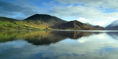
Ennerdale Water
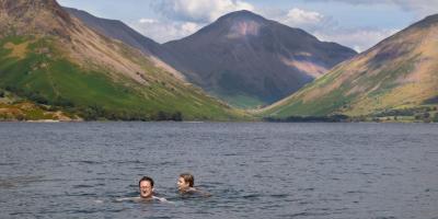
A stunning walk around the lake, a perfect low level route or a great alternative if the weather is poor
Moderate route (PDF, 1.1MB)
8.1 miles, takes 3h 30m to 5h 45m
Red Pike, High Stile and High Crag
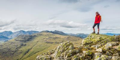
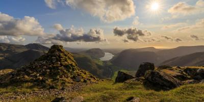
A great high level traverse with stunning views, especially from the summit ridge,
Challenging route (PDF, 1.2MB)
7.6 miles, takes 5h - 7h 30m
Pillar, Scoat Fell and Haycock
A challenging high level ridge route with great views across the Lake District
Severe route (PDF, 1.2MB)
10.6 miles, takes 7h 15m - 10h 45m
All our walking routes are tried and tested to help you explore this beautiful part of England. To assist with route selection and planning, you’ll also find a description of the hazards and facilities, accessibility information and points of interest on the maps


